Hoye Crest: Reaching Maryland's Highest Point
Hoye Crest is the highest point in Maryland. Located in Garrett County, you can take a hike to check out its scenic views.
About Hoye Crest
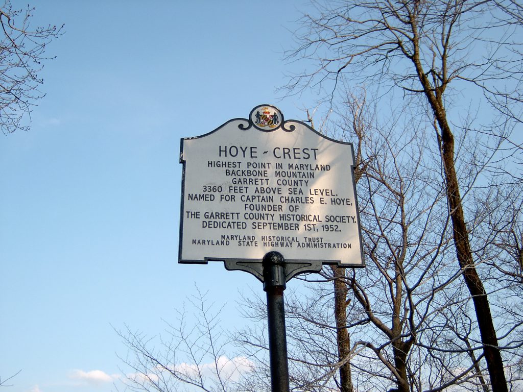
Hoye-Crest is a summit along Backbone Mountain. It is the highest point in Maryland reaching an elevation of 3,360 feet. The peak is named for Captain Charles Hoye. He founded the Garrett County Historical Society.
Hike the approximately two mile trail uphill to reach the summit. There is a “mailbox” with a log book where you can sign in and take selfies. It has a marker and offers a view of the North Branch Potomac River valley to the east.
Backbone Mountain Overview
Backbone Mountain stretches about 39 miles. Running southwest to northeast, it extends from the Black Fork in Tucker County, West Virginia to the Savage River Reservoir in Garrett County.
The Eastern Continental Divide follows part of the mountain in Maryland. Northwest of Backbone mountain, the Youghiogheny River is in the watershed of the Mississippi River. South of the mountain, the headwaters of the North Branch of the Potomac River flow into the Chesapeake Bay.
Directions to Hoye Crest
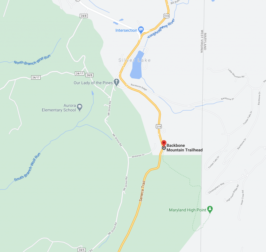
To reach the trail, you must cross into West Virginia. From take exit 14 on I-68 to US 219 South. Once you pass the junction with US 50 at Redhouse, MD, continue 4.3 miles to Silver Lake, West Virginia. In Silver Lake, State Route 24 junctions to the west. From that point, continue following US 219 South for 1.1 miles. On the left side of the road, look for trees with orange blazes. Also, the back of one of the highway signs is marked “MD HP”. There is a green sign with white lettering on 219 and there are parking areas on both sides of the road. Google maps can provide directions as well.
Posted on 09/14/2020 in Uncategorized # Garrett County


