
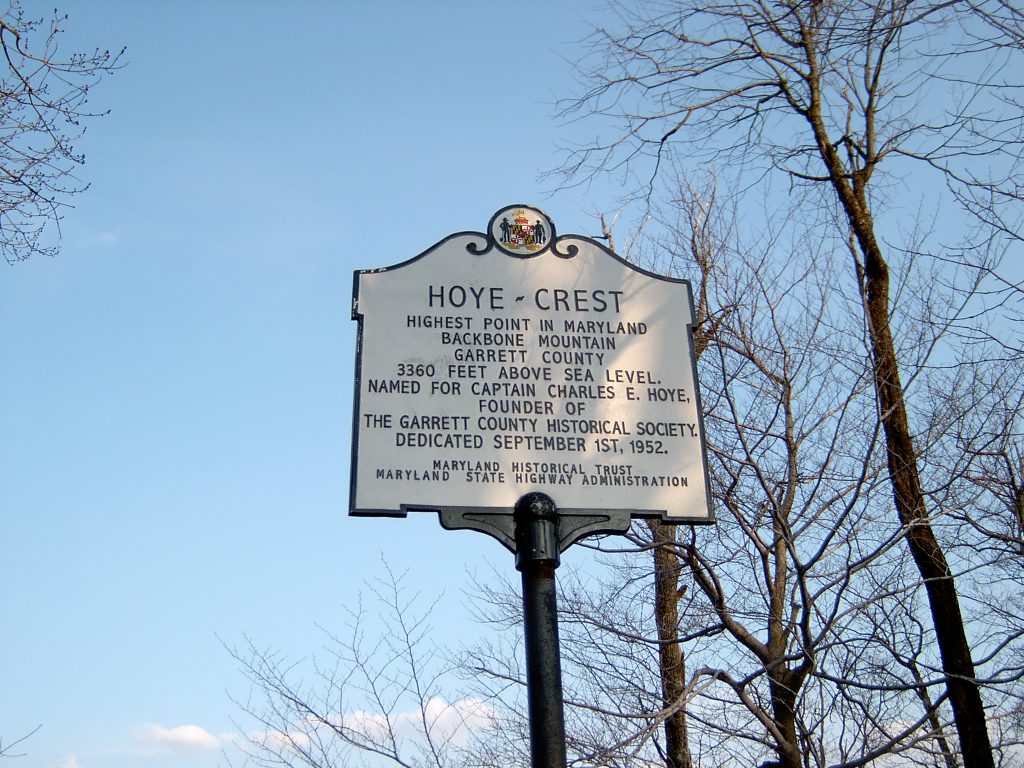
Hoye Crest is the highest point in Maryland. Located in Garrett County, you can take a hike to check out its scenic views.
About Hoye Crest
Hoye-Crest is a summit along Backbone Mountain. It is the highest point in Maryland reaching an elevation of 3,360 feet. The peak is named for Captain Charles Hoye. He founded the Garrett County Historical Society.
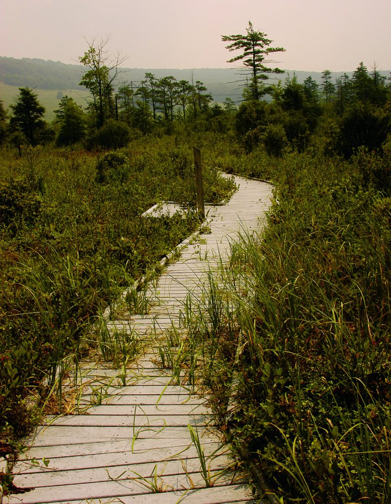
Hike the approximately two mile trail uphill to reach the summit. There is a “mailbox” with a log book where you can sign in and take selfies. It has a marker and offers a view of the North Branch Potomac River valley to the east.
Backbone Mountain Overview
Backbone Mountain stretches about 39 miles. Running southwest to northeast, it extends from the Black Fork in Tucker County, West Virginia to the Savage River Reservoir in Garrett County.
Continue reading Hoye Crest: Reaching Maryland’s Highest Point