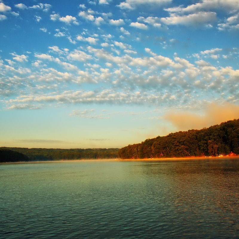
Some people that travel to Deep Creek Lake and Garrett County, Maryland say that it’s almost like someone flipped the weather switch once you cross over the Eastern Continental Divide line in the Eastern most part of Garrett County, near Grantsville, MD. And, living in Deep Creek Lake my entire life, I can attest to that!
Whether you’re commuting to the area from Baltimore, DC or Northern VA you might get the impression on the ride here that there won’t be any fresh snow when you arrive. But, hold on, just as soon as you top the hill at Finzel and again at Keysers Ridge you will come to find that this is not the case at all. The Eastern Continental Divide falls just between these 2 mountain ranges, that’s why many say it’s a landmark for the weather to come ahead. In fact, Garrett County has the highest elevations in Maryland, ranging from 1800-3000 feet in most areas and 3000-4500 feet in a few small spots. See Maryland elevation map courtesy of geology.com: http://geology.com/state-map/maryland.shtml.
The Eastern Continental Divide, in conjunction with other continental divides of North America, demarcates two watersheds of the Atlantic Ocean: the Gulf of Mexico watershed and the Atlantic Seaboard watershed. Prior to 1760, the Divide represented the boundary between the British and French colonial possessions in North America. The ECD runs south-southwest from the Eastern Triple Divide through several Atlantic Seaboard states (and West Virginia) to the watershed of the Florida Bay, which is adjacent to both the Gulf of Mexico and the Atlantic Ocean. (Source: http://en.wikipedia.org/wiki/Eastern_Continental_Divide)
Find out for yourself. Pack up the family and head as far West as you can go in MD to Maryland’s only ski resort for the weekend, Wisp Resort. You’ll experience Deep Creek Lake in it’s winter wonderland. www.DeepCreekLakeProperty.com